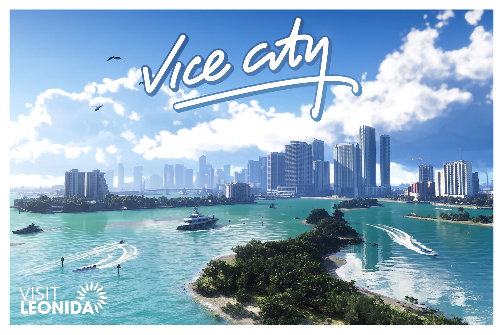
The GTA VI map is no longer an estimate: with the game out, the whole thing is known. Leonida has 5 counties, Vice City has 23 named districts and the map as a whole covers about 175 km² (67.5 square miles). This is what is in each area, according to the full map from the final version.
How big it is
| Detail | Figure |
|---|---|
| Area | About 175 km² (67.5 square miles) |
| North to south | 16 km |
| East to west | 10.9 km |
| Land / water | Roughly 65% / 35% |
Many buildings have interiors, though not all, and some skyscrapers have several floors that you reach by lift.
The 5 counties
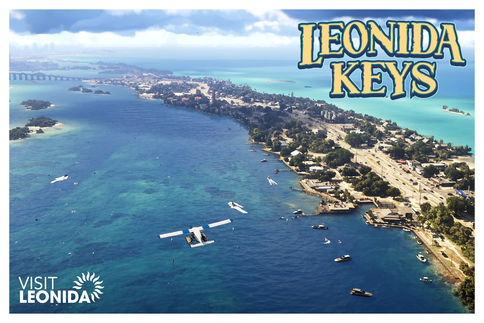
Mariana County: the keys and the swamps
This is the south of the map and where the story begins.
- Southwind and Key Lento: the keys, with islands such as Riquezas Keys, Maroon Key, Abismo Key and Corsair Key.
- Grassrivers: the swamps.
- Watson Bay, with Bobcat Key.
- Pelican Valley and Capri, with Tortoise Lake and Belpoint.
- Mile Zero Air Station, at the southern tip.
Vice-Dale County: Vice City
The county of the city. It includes the airport (VCIA), the town of Hamlet and Vice Beach, with Ocean Beach and Washington Beach.
The districts of Vice City:
| Downtown | Little Cuba | Stockyard | Starfish Island |
| Southside | Peacock Bay | Tequesta | Tequesta Retreat |
| Salton | Rockridge | Crosstown | Bayside |
| La Perle | Balsero | Decor District | Leaf Links |
| Rialto Islands | Waxman Island | Port Vice City | Catalan Bay |
| Catalan Key | Gloriana Key | Dalton Island |
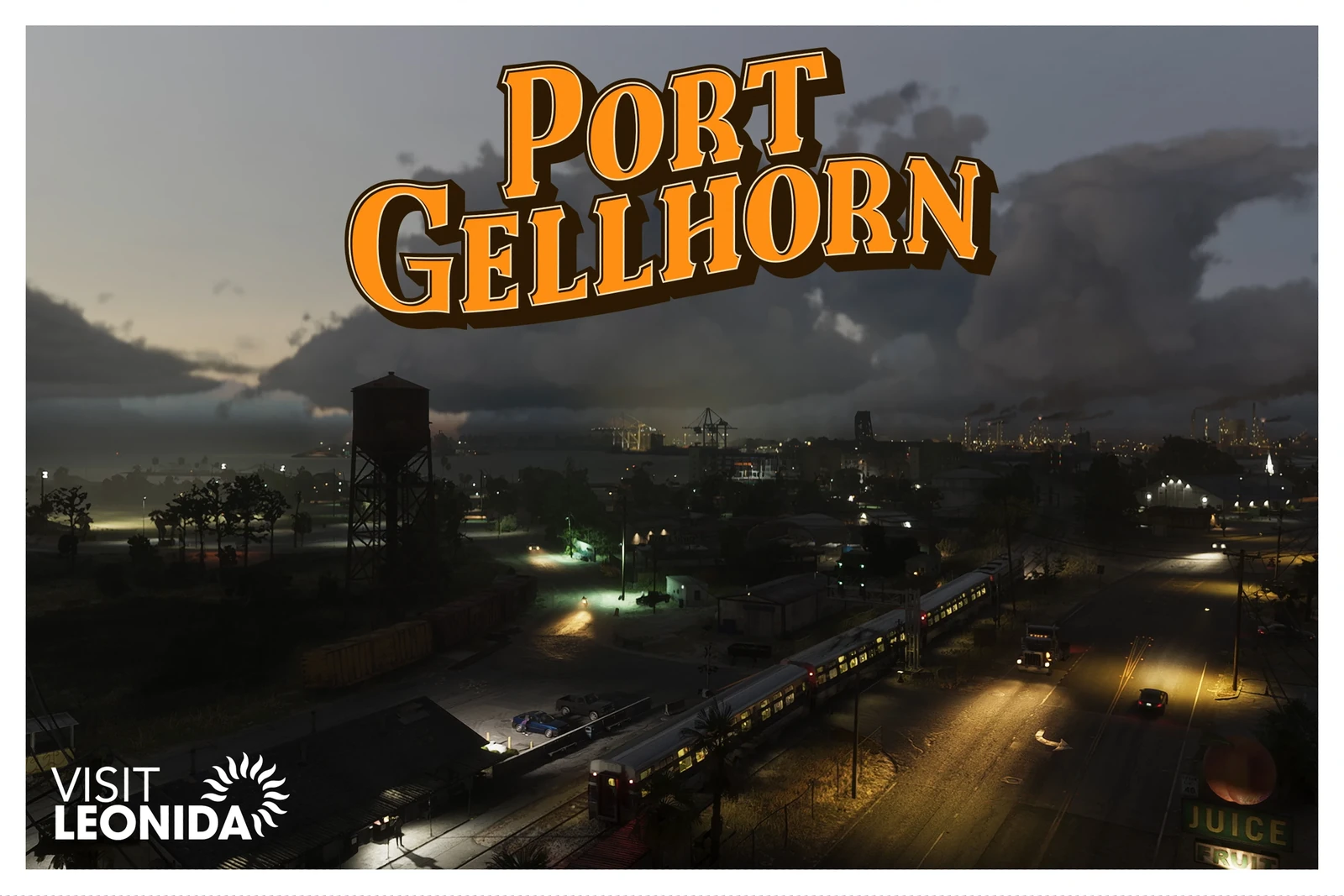
Kelly County: Port Gellhorn
The west coast.
- Port Gellhorn, with Wild Hog Point and the Crude Islands.
- Gellhorn, Buckskin Swamp and the Emerald River, to the south.
- Draper Island.
- Frogswater and Manifest Canyon, to the north.
Leonard County: Lake Leonida
The interior.
- Lake Leonida, with Richard Barebone State Park and Little Hardin Island.
- Belville.
- Waning Sands, beside the Leith River.
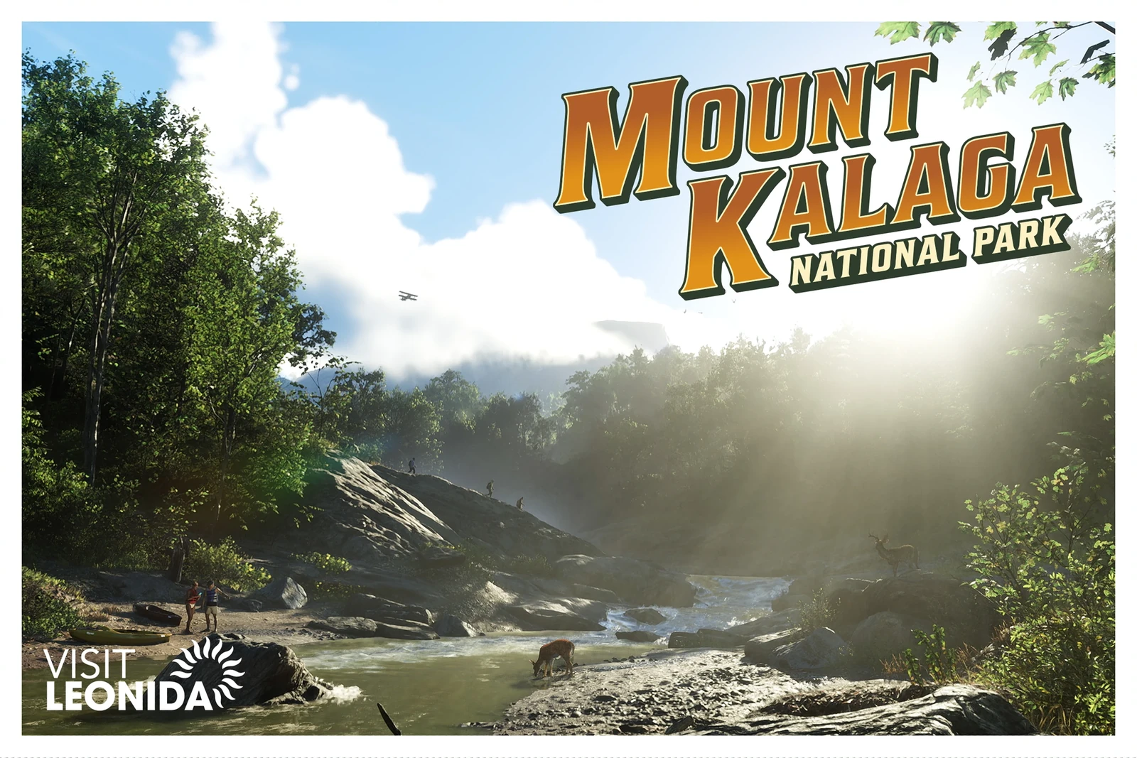
Lummox County: Mount Kalaga
The north.
- Mount Kalaga National Park and the Zephyr Islands.
- Grayson, on San Malo Bay.
- Bonanza, with the MacAlister Gold Mine and the town of Moreau.
- Millport.
- Lake Tallaloko, Kalaga Reservoir and Dawson Dam, to the east.
What is on the map, in numbers
| What | How many |
|---|---|
| Bars | 122 |
| Street food stalls | 118 |
| Cafés | 87 |
| 24-hour shops | 72 |
| Clothes shops | 67 |
| Petrol stations | 57 |
| Train stations | 25 |
| Ammu-Nation | 24 |
| Pay ‘n’ Spray | 19 |
| Hairdressers | 18 |
| Shoe shops | 17 |
| Mod shops | 14 |
| Garages | 12 |
| Tattoo studios | 11 |
| Ferry terminals | 2 |
And for jobs: 39 gang operations, 22 banks (14 small and 8 large), 7 payday loan shops and 35 shop windows to ram-raid.
How to uncover the map
The map starts covered in fog and clears as you pass through each area.
- Flying is the fastest way. A crop duster uncovers the whole map in 2 or 3 hours.
- Jets are faster, but they carry advanced trackers that give you 4 stars, and they burn more fuel.
- You can take a taxi to a plane as soon as you finish the first mission.
- Fast travel also works to undiscovered areas. How to use it is in saving, fast travel and switching characters.
Where the story takes place
The first two chapters are played outside the city, and you reach Vice City at the start of chapter 3. The full order is in the mission list.
To get around the map with markers, use the interactive Leonida map (in Spanish), which we will keep filling in with the real locations.
Data from the final version of the game, as of 18 November 2026. We will keep checking and expanding it. The images are official Rockstar Games screenshots.